Active travel analysis and modelling
We combine active travel principles with data analytics and modelling to measure and guide active travel initiatives and streetscape changes.

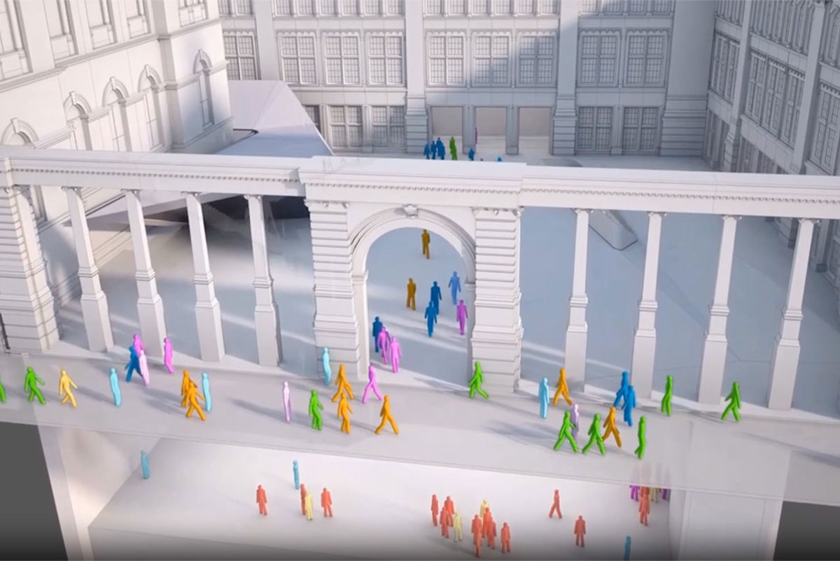
In Hong Kong, we used the first integrated simulation model to combine interactions between pedestrian and vehicular traffic to mitigate congestion and improve pedestrian accessibility.
We also use our own people movement MassMotion tool to simulate pedestrian behaviour in different scenarios. By factoring in the purpose of individual trips, we can plan for different scenarios and more accurately forecast travel demand.
Hong Kong's busy central business district, Admiralty, is continually getting busier. Vehicular and pedestrian traffic issues have been a long-standing concern at the existing Admiralty public transport interchange, with over 29,000 passenger trips during peak hours on weekdays, and the number is set to increase further.
Arup was commissioned to conduct a large-scale assessment of potential traffic problems. Our study was the first to explore the interaction between pedestrian and vehicular traffic using a three-dimensional simulation model to help visualising the impact. The pedestrian and vehicular simulation model illustrated present and future traffic condition, highlighting congestion locations and points of conflict.
Arup's proposed improvement scheme reduces congestion with effective use of space for interchanging passengers, improved accessibility, public transport rationalisation and better organisation of movement flows at intersections. The model also provides a platform to improve access for those with impaired mobility, and ensures the harbour area and the new government headquarters are well connected as a pedestrian zone.
Get in touch with our team
Explore
Learn more about how our services can support your project:
Projects
Explore more roads and streets projects

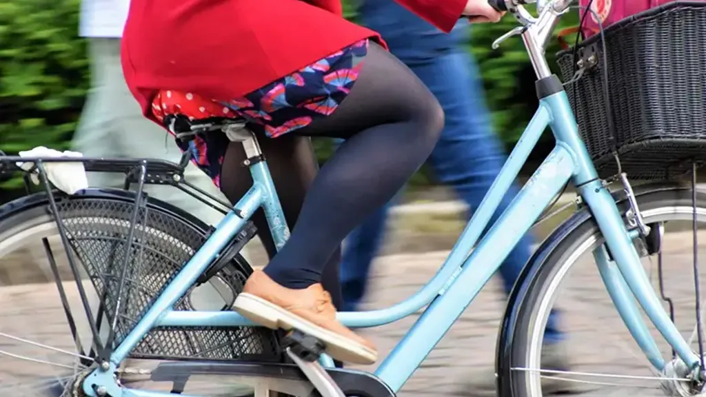
Helping Ankara to become a cycle-friendly city
Ankara cycling strategy and masterplan, Türkiye

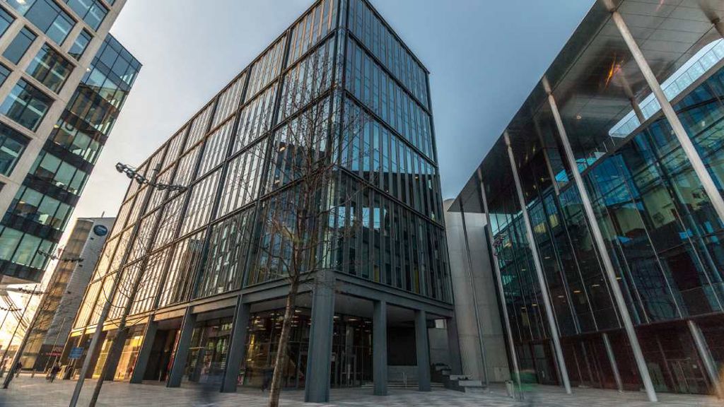
Major redevelopment transformed with integrated transport and sustainable design
Cardiff Central Square

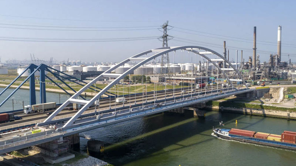
Strengthening Suurhoff bridge with innovations in bridge renovation
Suurhoff bridge, Netherlands

Sustainable innovation drives design of Copenhagen’s proposed Eastern Ring Road
Eastern Ring Road, Denmark
Active travel
Adapting existing neighbourhoods and districts to accommodate a more complex mix of pedestrians, bikes, scooters and powered vehicles requires thoughtful planning. Our active travel team helps clients navigate decision making routes seek to solve, to deliver lasting benefits to communities.

