Using BIM to optimise one of Germany’s busiest traffic junctions
Berlin Funkturm junction improvements
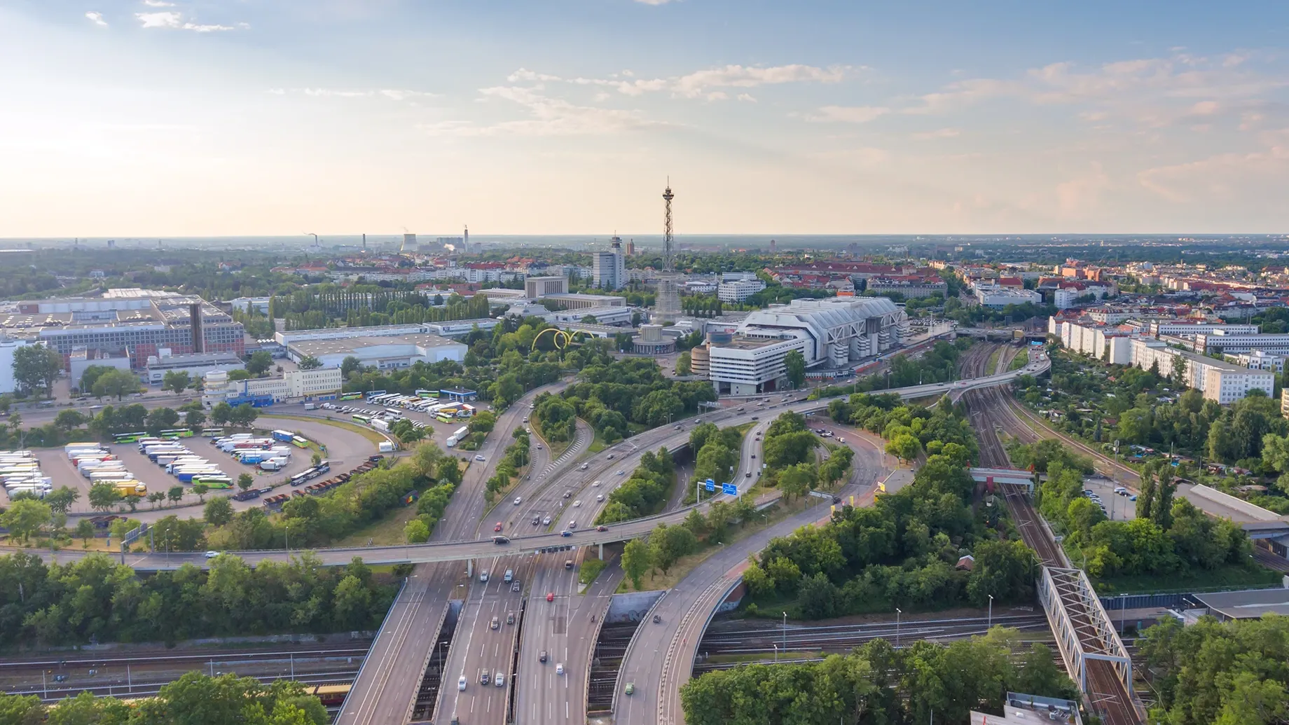
With a daily traffic volume of around 200,000 vehicles per day, the urban motorway interchange at the Berlin Funkturm is one of Germany's busiest traffic junctions. Located next to the iconic Funkturm radio tower within Berlin’s leading exhibition grounds, more than 12,000 trucks use this motorway node between the A100 and A115 motorways in western Berlin on a daily basis.
Built in the early 1960s, the junction was not designed to accommodate today’s dense traffic volumes. Despite continuous maintenance and repairs, the load-bearing capacity of the engineering structures is fast-deteriorating due to the ongoing heavy traffic. Using Building Information Modelling (BIM) software, a team of transport infrastructure consultants, transport planners, designers and traffic specialists are working together to optimise the traffic management and refurbish the route in coming years, while increasing traffic safety and mitigating noise and air pollution for local residents as well as the impact on the environment.
Arup was appointed by Germany’s state-owned project management company DEGES as the overall BIM manager for the project. The use of digital modelling software was enabling the team – comprising fifteen consultants and the client – to work collaboratively on this complex project and to develop a balanced preferred route option, which was further optimised and detailed by summer 2021 as a basis for planning and legislation requirements and for public enquiry.
DEGES commissioned Arup for the BIM management to ensure a successful execution of the scheme on the back of our positive past experience in the BIM implementation across a range of infrastructure projects in Germany and internationally.
Heiko Jagels
Project Manager for Engineering Structures & BIM, DEGES
BIM increases planning reliability for complex road projects
Given the complexity of the project, DEGES decided to develop this project using BIM, commissioning Arup as BIM manager to jointly develop and implement an exemplary digital project structure with all planners and consultants. The use of BIM is expected to enhance reliability during the planning, design and project execution stages, while minimising overall risks such as time delays, cost increases or loss of quality. Delivering this project in BIM has meant more work in the early planning phases of this complex transport infrastructure project, but the knowledge acquired in the 3-dimensional world will deliver great benefits in the later stages.
Planning large-scale complex projects in BIM offers great advantages over conventional planning methods, as the digital model enables very detailed project and design management: this gives team members access to up-to-date project information resulting in greater transparency and enhancing collaboration. The current model-based planning does not only include the reconstruction and partial new construction of the motorway junction Funkturm.
An essential building aspect to ensure the success of the project is the optimised maintenance of the traffic flow during the construction work, while construction logistics must also be taken into account in digital planning. It is the intention of the project sponsor and, in the interest of the society, to design and implement a project across all planning phases that serves the entire value creation, maintenance and recycling cycle of a transport infrastructure facility and whose all accumulated information is equally, intuitively understandable and automatically usable for both humans and machines.
Upgrading highways: from BIM to Digital Twin?
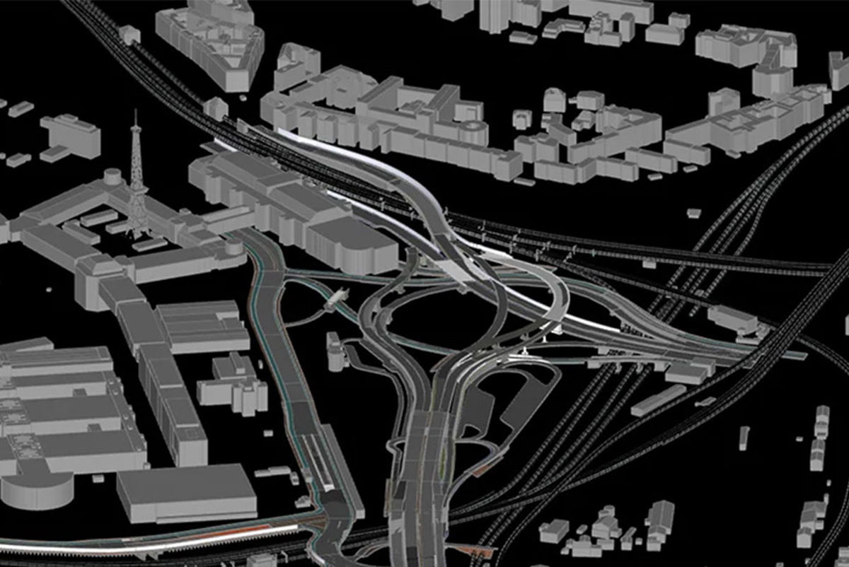
We were working together with 15 planners and experts involved in the project on the model-based optimisation of the preferred option that emerged from the preliminary planning phase. This also included the continuous systematic improvements of the discipline-specific modelling processes, the data exchange interfaces and the specification of project information for the consolidation of a uniform interdisciplinary project data structure.
The development of an overall 3D model with consistent data management anchored in the model elements is a key step towards the development of a digital twin. With this digital replica, the team will be able to assess the dynamic behaviour of real traffic infrastructure and related technical facilities, and analyse different scenarios thanks to numerical simulation tools to generate an accurate basis for data-driven decision-making over the entire life cycle of the structure.
However, there is still a long way to go before a functional digital twin can be created, in which all modifications are constantly updated during the project phases and dynamic feedback between the real and virtually planned image is possible.
Aligning stakeholders: almost one hundred interest groups
The final design will need to accommodate the inputs from a group of almost one hundred stakeholders over the next few years, such as the Berlin Senate, local residents, local public transport (e.g. S-Bahn Berlin, city buses), Deutsche Bahn, Messe Berlin, commercial and industrial groups, allotment gardeners, utilities such as Berliner Wasserbetriebe and Deutsche Telekom.
In addition to the optimisation of the highways alignment, 27 engineering structures and drainage systems will be renovated or newly built. The former Avus service area will be dismantled, and incorporated into the future expansion of the Parforceheide service area. To ensure the project is functional but also delivers aesthetically, an architectural office is involved in the planning and design.
What we delivered
-
Acting as the programme's BIM manager - we were able to enable a diverse group of stakeholders to collaborate effectively on the project
-
By developing a 3D model with consistent data management anchored in the model elements, we were able to move close to the creation of a true digital twin
Get in touch with our team
Projects
Explore more roads and streets projects

Helping Ankara to become a cycle-friendly city
Ankara cycling strategy and masterplan, Türkiye
Major redevelopment transformed with integrated transport and sustainable design
Cardiff Central Square
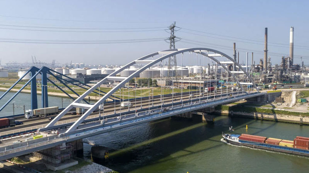
Strengthening Suurhoff bridge with innovations in bridge renovation
Suurhoff bridge, Netherlands

Sustainable innovation drives design of Copenhagen’s proposed Eastern Ring Road
Eastern Ring Road, Denmark
Get in touch with us
If you'd like to speak to one of our roads and streets experts about any of the issues raised on this page or a potential collaboration then please get in touch by completing the form.
