
Statewide assessment developed by Arup equips Caltrans to protect California’s transportation infrastructure against climate change
Grounded in the latest climate science, the assessment evaluates risk across the entire State Highway System through the year 2100
Last updated: 8th October 2026
Caltrans has released its 2026 Climate Change Vulnerability & Risk Assessment (CCVRA), the agency’s most advanced effort yet to protect California’s transportation system from a changing climate. Arup, the global built environment consultancy, developed the statewide analysis in collaboration with Caltrans, which evaluates climate-related risks and sets out a framework for addressing them.
The CCVRA integrates advanced technology and a risk methodology to assess transportation assets across all 12 Caltrans districts, identifying those at risk from sea-level rise, coastal erosion, wildfires, riverine flooding, and landslides through the year 2100. Arup’s approach combined the latest climate science with industry-leading risk analysis to assess the hazard likelihood and downtime consequences for the entire State Highway System including more than 13,000 bridges, 275,000 culverts, and 53 tunnels.
“As climate science and conditions continue to evolve, Caltrans is using the latest tools and guidance to proactively plan for future impacts to enhance public safety and protect critical transportation infrastructure,” said Caltrans Director Dina El-Tawansy. “Our data-driven approach will strengthen resiliency across our transportation network to better protect all Californians.”
“Caltrans has been ahead of the curve on climate adaptation for years, and this assessment raises the bar again,” said Brooke DuBose, Arup’s Resilient Roadways Leader. “It brings California’s newest climate science down to individual road segments, bridges, and culverts, and turns it into a common language of risk that decisionmakers and engineers can act on. That’s what lets the state move from understanding climate threats to investing against them.”
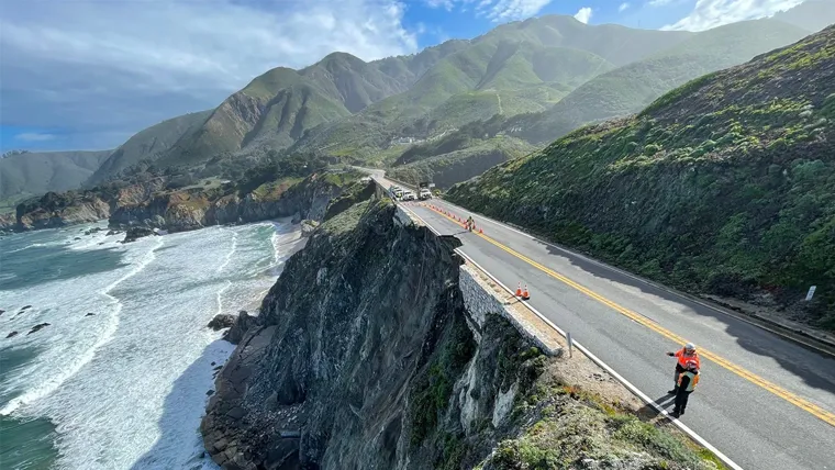
By the end of the century, up to 440 miles of coastal highway could be affected by coastal flooding, and up to 330 of those miles could be permanently lost if no action is taken.
The assessment is designed to help state and local agencies evaluate and prioritize infrastructure funding for projects that will make critical transportation infrastructure more resilient to extreme weather events, including the forecasted El Niño. The CCVRA builds on Caltrans’ foundational 2019 assessment, going a step further to combine how likely each hazard is with how long an asset would be out of service if damaged. All hazards are scored on one scale, so wildfire, flood, and landside risk can be compared directly. Results are available in user-friendly formats with GIS mapping, enabling planners, designers, and maintenance staff to apply findings to future projects.
The release of this assessment demonstrates California’s commitment to science-based planning and investments in infrastructure resiliency. Caltrans has already begun to use the CCVRA to implement climate adaptation.
Arup is also supporting Caltrans on resilience work. This includes adaptation planning for the scenic Pacific Coast Highway in Orange County, the San Francisco-Oakland Bay Bridge, and key regional corridor Highway 101 in the Bay Area.
Learn more about the 2026 Climate Change Vulnerability & Risk Assessment

Roads and streets at Arup
Our team helps road agencies, asset owners and operators to fund, plan, build, operate and maintain sustainable road and street networks.
News
Explore more Americas news
New universal framework supports infrastructure resilience against climate and disaster risk
10th September 2026
Arup selected to manage statewide program to modernize New York’s intelligent roadway network
1st September 2026

Arup opens new San Diego office, expanding in Southern California
13th August 2026
Arup appoints urban development and infrastructure leader Jee Mee Kim-Diaz to accelerate impact across the Eastern U.S.
10th August 2026

Learn more about Arup
A global consultancy shaping infrastructure, buildings, energy and sustainability for the built environment.
